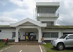
會曬機場
| 會曬機場 Ban Huoeisay Airport | |||||||||||
|---|---|---|---|---|---|---|---|---|---|---|---|
  HOE | |||||||||||
| 概览 | |||||||||||
| 机场类型 | 民用 | ||||||||||
| 營運者 | 政府 | ||||||||||
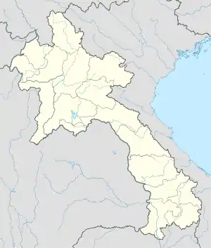
| 服務城市 | 老撾會曬 | ||||||||||
| 地理位置 | 老撾會曬 | ||||||||||
| 经纬度 | 20°15′28″N 100°26′13″E | ||||||||||
| 跑道 | |||||||||||
| |||||||||||
來源: 世界航空資料[1] | |||||||||||
參考
- 世界航空数据库中的VLHS机场数据,数据截止日期:2006年10月。
- . 航空安全網絡. [2010年9月19日].
- . Thomas E Lee. [2010年9月27日].
This article is issued from Wikipedia. The text is licensed under Creative Commons - Attribution - Sharealike. Additional terms may apply for the media files.